Government selects ICEYE to strengthen disaster response
Thu, 7th Sep 2023
ICEYE, a provider of natural catastrophe solutions and insights, has been selected by the Federal Government of Australia to supply flood and bushfire hazard data for all states and territories across the country.
Through this agreement with the Federal Government, ICEYE will contribute directly to efforts to strengthen Australia's capabilities to manage the impact of flood and bushfire events through rapid disaster assessment and response, better resource allocation and improved coordination between national and local entities.
The announcement expands on the existing relationship between ICEYE and the Federal Government, which has been using ICEYE's Flood Insights product since October 2022 to support response and recovery activities across more than 30 agencies at both state and federal levels.
During this period, ICEYE analysed eight major floods, enabling a more targeted response effort, reducing related costs, and facilitating quicker disaster relief assistance to affected communities during one of the most catastrophic flood hazard seasons in recent history.
To date, ICEYE has analysed 18 large-scale flood events across Australia.
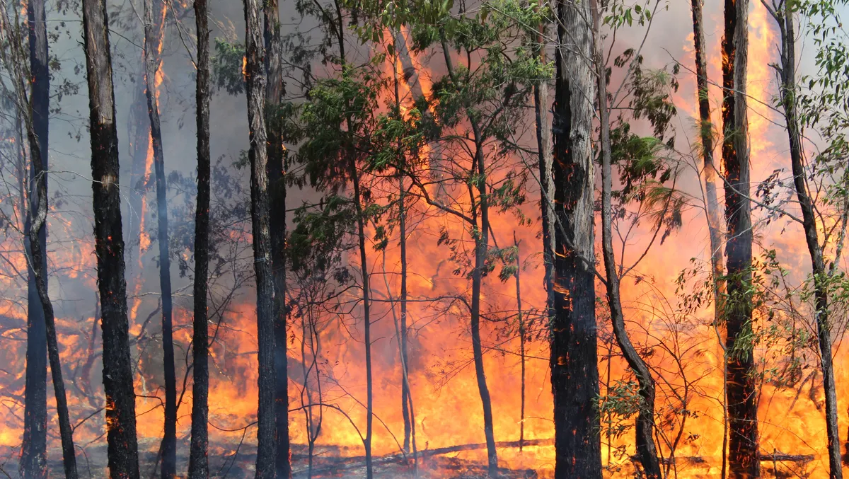
Several states and territories across Australia have experienced record-breaking flood and bushfire events in recent years due primarily to persistent La Nina or El Nino weather patterns, resulting in extensive periods of extreme rainfall or drought.
According to the Treasury, flooding in 2022 impacted economic activity in Australia by approximately AU$5 billion. Increasing urbanisation and population growth, coupled with a rapidly evolving climate, are leaving more communities increasingly exposed to extreme weather events and putting significant pressure on government flood and bushfire response measures.
"ICEYE is uniquely positioned to enhance emergency management decision-making, through the delivery of flood and bushfire insights in near real-time. This is created by leveraging its own constellation of more than 25 Synthetic Aperture Radar (SAR) satellites to monitor the Earth under any conditions; day or night, through clouds or smoke," says a company spokesperson.
"ICEYE's Flood and Bushfire Insights products leverage SAR imagery, combined with ground data to produce actionable intelligence. ICEYE's Flood Insights is a curated analysis detailing structure-level flood extent and depth information within 24-hours of the peak of flooding."
ICEYE's Bushfire Insights delivers rapid property damage assessments in near real-time, helping agencies see through the smoke during bushfire events. This data enables emergency responders to understand the actual impacts of the event quickly, better target critical resources, and ultimately improve recovery outcomes for flood- or fire-affected communities.
"Understanding the true impact of floods and bushfires quickly, can transform response and improve recovery outcomes for survivors. This partnership is about bringing that transformation to federal, state, and territory-level agencies across Australia," notes Gary Wood, Government Solutions, Asia Pacific, ICEYE.
"ICEYE delivers unmatched persistent monitoring capabilities for any location on Earth. Owning the world's largest synthetic-aperture radar satellite constellation, the company enables objective, data-driven decisions for its customers in sectors such as insurance, natural catastrophe response and recovery, security, maritime monitoring and finance. ICEYE's data can be collected day or night, and even through cloud cover."
ICEYE's flood and bushfire data will be made available to agencies via ArcGIS, the mapping and analytics software developed by Esri.