LiDAR stories
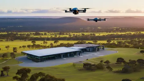
Carbonix has partnered with Toll Uncrewed Systems to bolster drone operations and training in Australia, enhancing capabilities across various sectors.
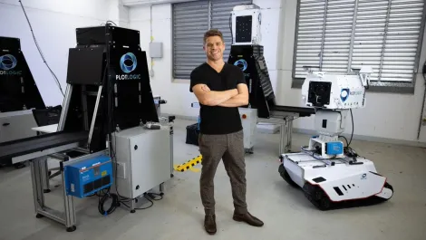
Small Australian tech firms, including innovators Plotlogic and global drone solutions, drive sustainable innovation and efficiency in global mining; key players in the industry's 'race to net-zero'.
SA Power Networks has used state-of-the-art technology to inform, manage and accelerate its response to the River Murray flood event.
A Forrester report finds 78% of automation leaders plan to implement aerial drone automation within a year, boosting efficiency across industries.
Osmose and Neara have partnered to enhance utilities' asset risk assessments, aiming for improved grid resilience and significant cost savings.
The global drone GIS mapping market is poised for significant expansion, fuelled by technological advancements and increasing demand across diverse industries.
The new solution offers LiDAR (Light Detection and Ranging) based insights into critical infrastructure 30 times faster than manual processing.
PiLogic has raised $4 million to develop its precise AI technology aimed at enhancing object tracking and diagnostics in aerospace and defence sectors.
Orbbec has launched two innovative products, the Gemini 335Le 3D camera and Pulsar SL450 LiDAR, enhancing AI and robotic vision technology offerings.
Ansys has teamed up with Cognata and Microsoft to launch the Automated Driving Perception Hub on Azure, enhancing sensor testing for automotive ADAS and AV systems.
Unitec has launched an IoT Impact Lab to empower communities through IoT and AI, fostering innovation and career opportunities for students.
Heathrow increases efficiency and security by quadrupling its Genetec deployment, now monitoring over 150 km of baggage belts and 150,000 vehicles daily.
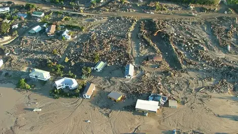
Stronger planning rules are still needed to stop homes being built on land prone to landslides and coastal erosion after Cyclone Gabrielle.
Experts warn rebuilding in flood-hit areas could lock communities into repeated damage, forcing a national rethink on who pays to move.
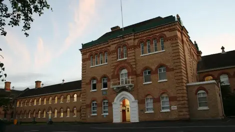
Abandoned heritage buildings could be preserved for longer, as a Unitec project uses 3D scans to record decay and guide future repairs.
Bridge checks could become cheaper and more consistent as Waterloo researchers use autonomous robots, cameras and lidar to spot defects.
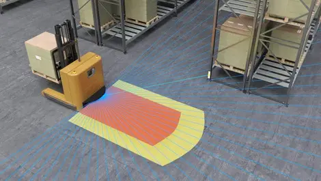
AGV operators can cut sensor counts and simplify integration as one laser scanner handles both safety and navigation up to 50 m.
Auckland households can now check whether rooftop solar will pay off, using a free calculator that maps shading and roof angles.
We wanted to offer an educational tool that's impartial and realistic to help people work out if solar is economic for their workplaces.
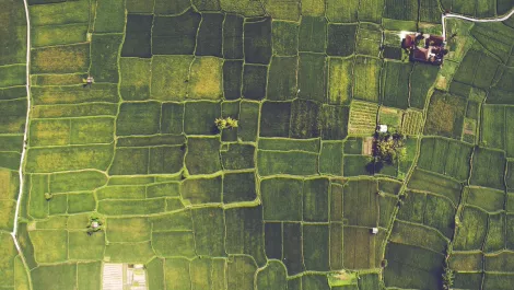
The data can be used by forestry companies to help plan their logging operations and horticulture companies for sustainable land management.