New Space technology: Critical element in Australia's climate change response
Tue, 29th Aug 2023
No country is immune from the effects of global warming, but climate change is affecting some countries more than others. While many countries around the world are grappling with the impact, it's clear that in Australia, the challenges are significant.
The rise of extreme weather events
Disasters resulting from extreme weather events are increasing in frequency and severity. In Australia, these have recently been seen in events such as the Great Deluge of 2022, which saw vast tracts of Queensland, New South Wales, Victoria, and Tasmania succumb to flood waters, and the Black Summer Bushfires of 2019-20, which resulted in the deaths of three billion animals and which temporarily depleted the ozone layer by 5%. Across Australia, high winds, floods, and wildfires that used to be once-in-a-generation disasters are fast becoming annual events.
The economic impact of climate change
Along with the threat to life such events pose, climate change is also an economic challenge to Australia. For instance, extreme weather events between September 2021 and 2022 cost the Australian household an average of $1,532. This is a considerable increase on the 10-year average of $888. This figure includes government expenses paid for through taxes, insurance costs, uninsured damage, and price increases stemming from supply chain shortages.
In addition to the direct costs of dealing with extreme weather events, Australians will also suffer from the inflationary pressure of climate change. According to the Treasury, flooding in 2022 impacted economic activity in Australia by approximately $5 billion and contributed to a 16.2% rise in fruit and vegetable prices.
The increasing risk of disasters is directly affecting daily life for Australians to a degree that we've never seen before. The impact is becoming more pronounced by growth in urbanisation and population levels, supported by outdated infrastructure that does not consider this evolving risk.
Given the scale of the challenge, there is increasing recognition across Australia that more needs to be done to build resilience and improve planning to cope with a world where extreme weather events occur as a matter of course. As the country unites behind this monumental task, accurate and timely intelligence will prove critically important, enabling organisations and individuals to make the best possible decisions at speed.
New Space technology comes to the fore
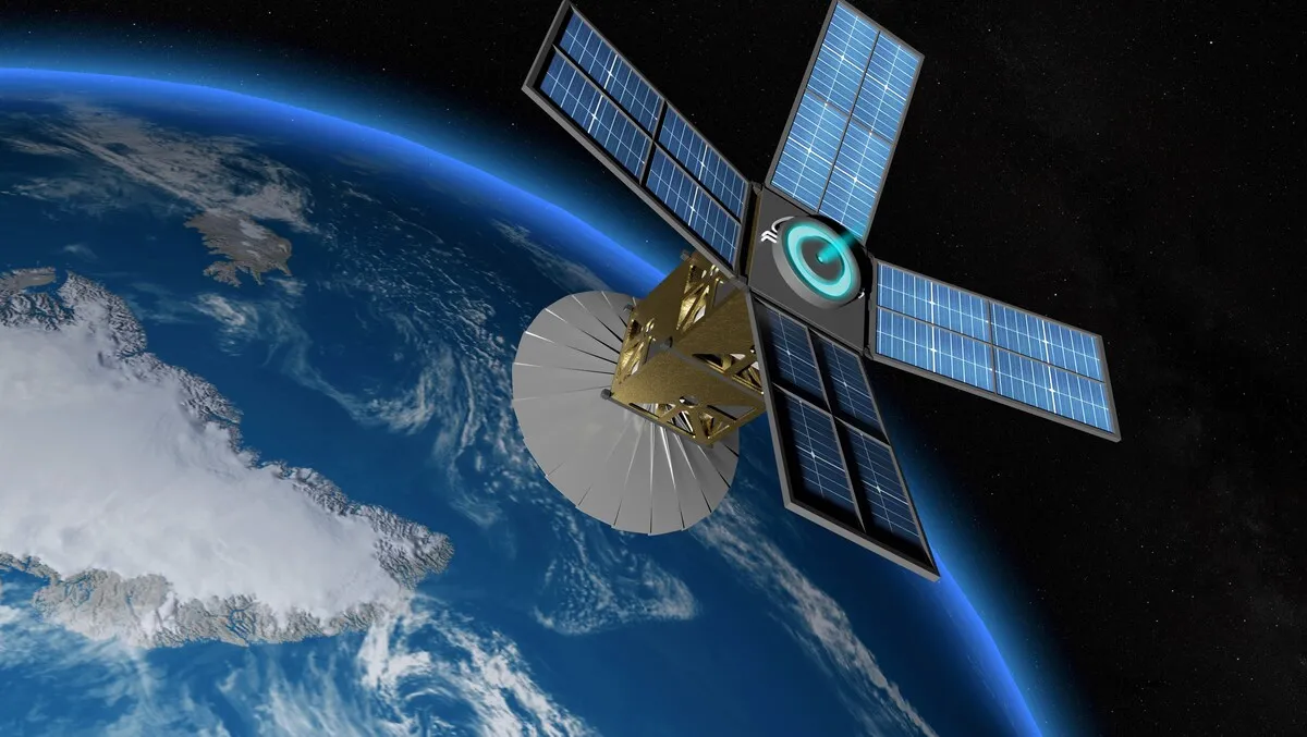
One increasingly important element in situational analysis for natural disasters is radar-based satellite imagery. The applications of geospatial and earth observation data from satellites are expanding rapidly. This is largely the result of technological advances that make satellite imaging far more detailed and richer.
Synthetic Aperture Radar (SAR) satellites, for instance, bounce powerful radar beams off the surface of the earth, creating pulses that help build an accurate understanding of what's happening below. The technology can see through clouds of smoke (key when tracking bushfires) and even take images of the ground at night, providing for persistent coverage of fast-breaking events on the ground in all weather conditions. This data can then be enriched with auxiliary on-ground data sources for a complete picture of unfolding disasters.
Applications of SAR derived solutions
The value of such technology to Australia's federal emergency response agencies is clear. By providing rapid access to near real-time hazard data such as flood extent and depth information or building-level damage assessments during a bushfire, SAR satellites can support a wide range of agency use cases, including rapid damage assessment, more effective disaster response, more informed decision making, and improved coordination between local and national bodies. Most importantly, they can help agencies offer faster relief to those affected by adverse weather events and considerably improve outcomes – for instance, by enabling the faster payment of emergency funds to those impacted to enable a speedier recovery process.
However, the value of satellite data isn't limited to emergency response or even to the public sector. The ability to constantly monitor events as they occur anywhere on the planet in granular detail can also help businesses in all sectors with their resilience and sustainability planning. Indeed, Swiss Re estimates that at least 17% of the UN's Sustainable Development Goals indicators can benefit from the use of earth observation data by helping to optimise the allocation of resources to accelerate progress against these goals.
There is also an obvious use case in providing rich datasets to insurers and reinsurers, a move that could potentially increase access to related insurance coverage for public and private sector organisations.
Preparing for a challenging future
In this new paradigm where climatic complexity and volatility are increasing, conventional models are not keeping pace with fast-changing risk. In a world where temperature records are constantly being broken and "world-first" events occurring with greater frequency, governments need better tools to understand their risk and respond to disasters. Australia is now 1.47C hotter than it was in 1910, and coastal sea levels are rising all the time. We simply do not know what new risks will emerge in this unprecedented situation. The observation-driven analysis is, therefore, essential to helping communities respond to these unpredictable events.