GIS stories
Weak connectivity and harsh site conditions can halt data capture in mines, making rugged devices a safety and workflow issue.
Property insurers and planners are tapping recurring aerial captures as Nearmap turns 20 years of imagery into AI-driven property data.
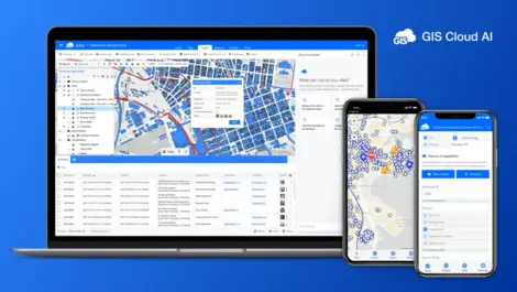
AI tools have helped the mapping platform top 220,000 users across 60 countries, with daily sign-ups now above 100.
Its offline safety app for mine workers will be sharpened with Google help, as Co Connect joins a 15-startup AI cohort.
Lower ETL bills and broader open-table support may tempt data teams as AWS Glue 6.0 adds Iceberg v3 and new runtimes.
Australian dispatchers should see faster incident response as HERE's live map data feeds Octave OnCall with routing and ETA tools.
Its software has cut building approval times by up to 70% as authorities seek faster, more transparent planning processes.
Customers in government and defence will get local support in Australia and New Zealand as Veris takes on Octave's geospatial software distribution.
Cities need more accurate curb data after researchers found parking rates often rose without denting vehicle volumes in 60 US cities.
The funding will help the London start-up expand into wind and CHP assets as it seeks to replace spreadsheet-based energy operations across Europe.
The free site helped commuters check flooded routes during Bangkok's disaster zone conditions, logging more than 13,000 uses in its first day.
The airport expects faster maintenance and better passenger flow as data from CAD, BIM and sensors is unified across its expanding site.
The deal adds about 100 staff and gives RSK a wider base in New Zealand's water, infrastructure and energy markets.
Homeowners and planning professionals can now generate licensed Ordnance Survey plans online, cutting delays in preparing applications.
The platform could help roading teams spot defects sooner by turning scattered verification records into searchable, location-based evidence.
The move could help governments link identity to welfare, health and tax services, broadening access across digital public infrastructure projects.
Irish organisations could cut delivery risk and duplication as the firms link scattered data for GIS, cloud and AI projects.
Demand for trusted location data lifted annual sales as utilities, councils and consumers used new services to cut risk and plan infrastructure.
Real-time mapping is now helping TLI Group cut manual reporting and improve safety on broadband, power and renewables projects across Ireland.
Data silos and staff time are being cut as the township uses AI agents to speed calculations, analyse waste and answer residents online.