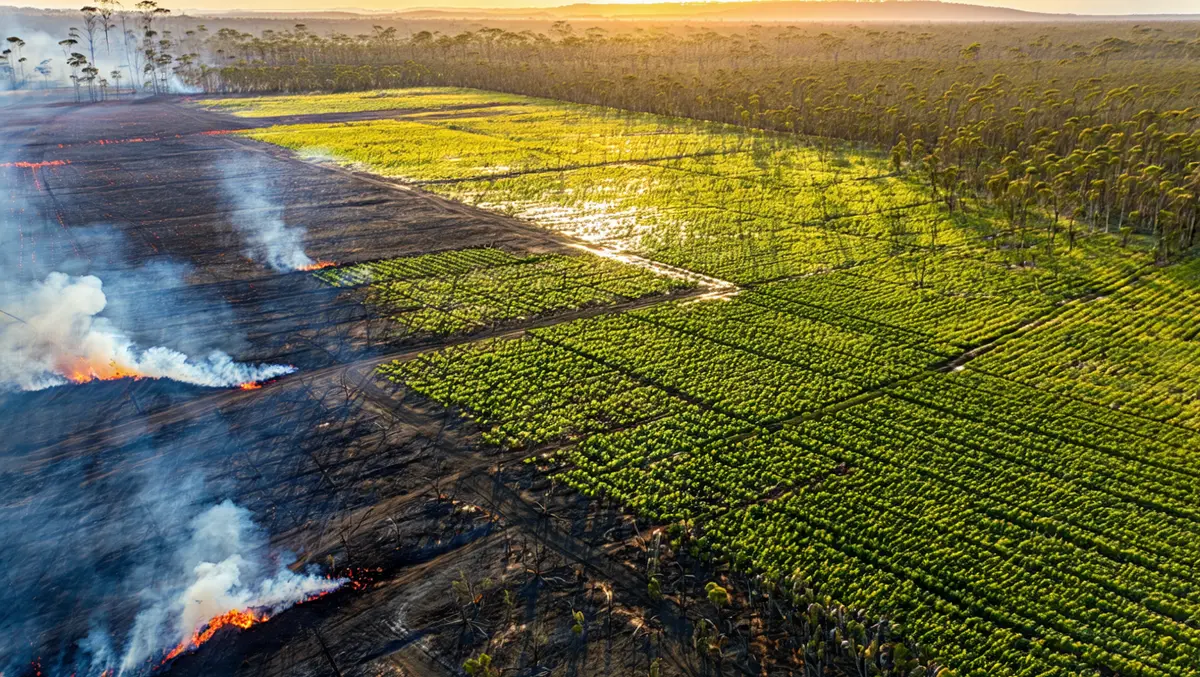
Geospatial insights from DAS aid in bushfire management
DAS is providing geospatial insights to key fire services to help track and manage fire risk during the bushfire season using data on grain, cropping, and harvest patterns.
Fire services, including the New South Wales Rural Fire Service, the Country Fire Service across five states, and the Department of Fire and Emergency Services, use data from DAS to assess fire risks through their fire behavioural models and Fire Danger Rating systems.
Research indicates that the maintenance of agricultural fields affects the speed and intensity of potential bushfires, with unharvested crops posing a higher fire risk. Additionally, the fire behaviour varies between different crop types, influencing how rapidly a fire spreads.
Anthony Willmott, CEO of DAS, said, "This is a global problem: more than a third of the world's surface is used for cropping. That makes this machine-learning-led dataset another valuable predictor alongside geospatial technology when working to prevent bushfires, a key means of fire management."
Willmott highlighted the economic implications of fires, citing an incident six years ago when a grain fire in Western Australia resulted in USD $3.6 million worth of crop damage, severely impacting local producers.
He elaborated, "Crop intelligence is an important data feed to mapping bushfire fire risk, with this dataset supplementing the work we do in assessing the impact or damage from climate events, providing near real-time information to government, agricultural, insurance and our finance clients."
Since its establishment in 2017, DAS has focused on climate and fire risk analysis from crops, offering producers free access to its platform for a basic assessment of their land, including risk profiling.
Climate change has been recalibrating fire risk profiles across various cropping regions, influencing harvesting patterns and affecting crop insurance capabilities.
"While the science behind fire behaviour is reasonably well known, many authorities are looking to the role of technology and improved data to increase effectiveness in preparing and responding to emergency events," noted Willmott.
Utilising advanced satellite technology, DAS's data supports numerous policy agendas related to risk mitigation, food security, land use mapping, and trade. The company's models are refined with data from over 109,000 ground-truth locations, including more than 13,000 locations updated in 2024.


