Partnership offers AI tools to boost urban greening for councils
Wed, 10th Sep 2025
The Spatial Distillery Co. has entered a partnership with Nearmap to provide local councils with tools to transform high-resolution aerial imagery and artificial intelligence (AI) insights into targeted urban greening strategies.
The two companies will collaborate to assist local governments in Australia in transforming detailed aerial data into strategies that focus on climate resilience and enhancing urban liveability. These services aim to address the difficult balance between rapid urban development and environmental responsibility faced by planning departments.
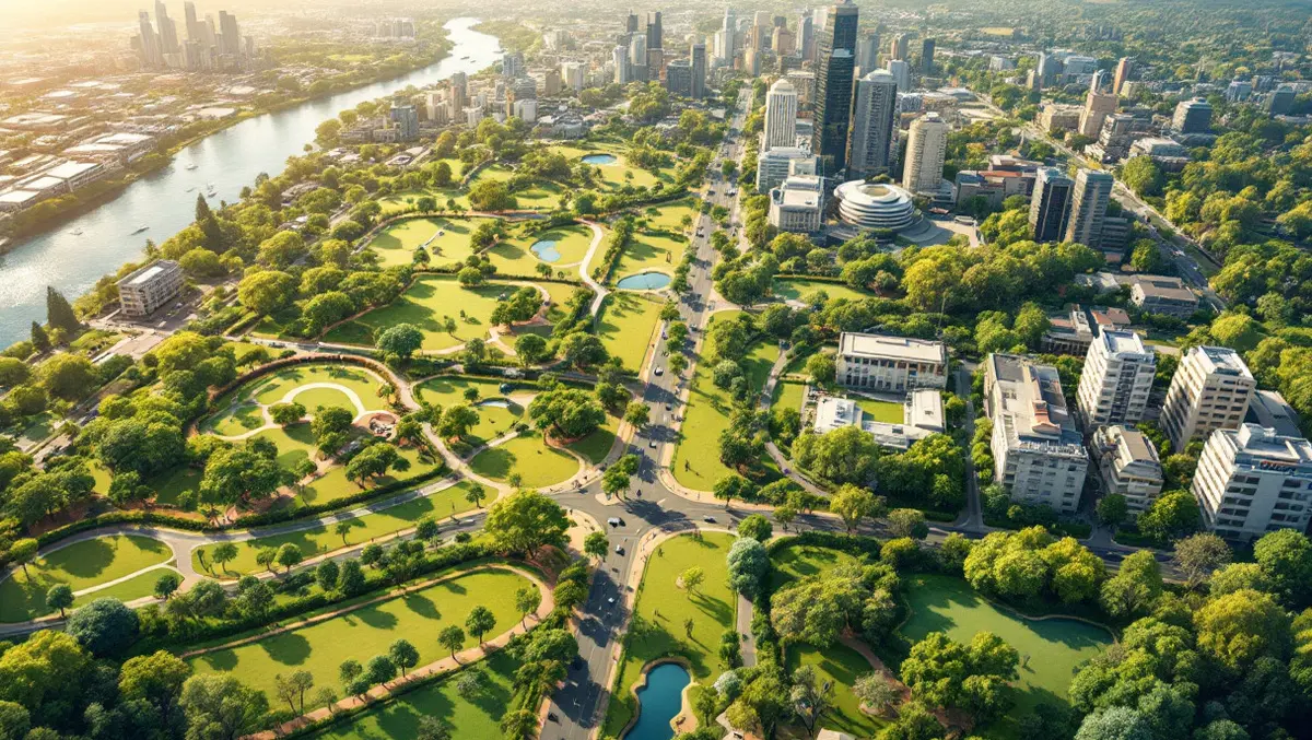
Many councils are grappling with increasing urban heat, more frequent extreme weather events, and growing demands from communities for healthier, more liveable cities. Access to near-real-time aerial imagery and location intelligence powered by AI offers councils a detailed picture of current urban conditions. However, the challenge extends beyond data acquisition, as information must be analysed and turned into strategies that can be implemented at the council level.
The Spatial Distillery Co. acts as a Nearmap Solutions Partner, applying expertise in geospatial analysis to Nearmap's datasets. This partnership enables the delivery of tools such as Tree Canopy Benchmark Dashboards and Comprehensive Canopy Reports. These resources aim to provide councils with a clear and evidence-based understanding of their urban environment while identifying areas for canopy expansion and greening.
"Urban greening is no longer optional - it's essential," said Nigel Lester, CEO at The Spatial Distillery Co. "Our partnership with Nearmap means councils can go from seeing the problem to solving it, with AI-powered insights that are clear, current, and actionable."
Urban greening continues to be viewed as a fundamental strategy for local governments seeking to improve the quality of life in cities. Increasing vegetation and tree canopy can deliver several benefits, including reducing heat stress by lowering surface and air temperatures, filtering air pollutants, encouraging physical activity, providing shade and psychological comfort, and supporting biodiversity and carbon sequestration.
The partnership will give councils access to several tools designed to convert aerial data into policy and action. Among the offerings is a Comprehensive Benchmark Tree Canopy Report, which establishes detailed baselines for canopy coverage across a city. These reports include historical trends, change analysis, forward projections, and carbon capture estimates. Councils will also be able to utilise AI-powered canopy and vegetation maps, which automatically detect and classify tree cover, turf, bare soil, and other vegetation types from frequently updated Nearmap imagery. The package also includes augmented analysis, combining vegetation, heat, and demographic data to provide a richer overview of urban conditions, allowing the design of more targeted greening policies.
The collaborative approach is built on combining high-quality aerial intelligence from Nearmap with the strategic spatial analysis provided by The Spatial Distillery Co. Together, they aim to deliver ready-to-present dashboards, maps, and reports backed by expert advice and data interpretation.
"The combination of Nearmap data and The Spatial Distillery Co.'s analytics expertise gives councils a practical path to accelerate urban greening," said Vib Chakraborty, Strategic Alliances and Partnerships Manager – ANZ at Nearmap. "Together, we're enabling data-driven decisions for healthier, more resilient cities."
By combining high-quality geospatial data with analytical expertise, the two organisations claim that they can better equip councils to address local environmental challenges. These include the development of climate resilience strategies and planning for more liveable, vibrant urban spaces as Australia's cities continue to expand and evolve.